Is it mosquito season in Massachusetts?
Massachusetts carries more mosquito-borne disease risk per square mile than almost any other northeastern state. The southeastern corner — Plymouth, Bristol, and Norfolk counties — is ground zero for the EEE corridor that extends from Florida to Maine. The 2019 outbreak was devastating: Massachusetts alone recorded 12 human cases and 6 deaths, prompting aerial spraying and school closures. At the same time, West Nile Virus circulates annually in the Boston metro.
The EEE corridor: southeastern Massachusetts
Plymouth County is consistently identified as the highest-risk area for EEE in Massachusetts and among the highest in the US. The vast freshwater swamp complexes in the Plymouth pine barrens — including the Hockomock Swamp, one of the largest wetlands in New England — provide ideal habitat for Culiseta melanura, the bird-biting EEE amplification vector. Bristol and Norfolk counties are also classified as high-risk zones most years.
Boston metro: West Nile hub
The Boston metro — Suffolk, Middlesex, and Essex counties — experiences consistent West Nile Virus circulation driven by Culex pipiens in urban and suburban storm drain systems. The Charles River, Mystic River, and the network of ponds and reservoirs throughout the metro support significant Culex populations. WNV is detected in mosquito pools in the Boston area virtually every summer.
Western Massachusetts: lower risk, still active
The Connecticut River valley (Springfield, Holyoke, Northampton) and the Berkshires experience a more typical Northeast season — active June through September but with lower WNV case totals and generally lower EEE risk than the southeast. The Pioneer Valley's agricultural areas produce Aedes vexans floodwater surges after spring rains.
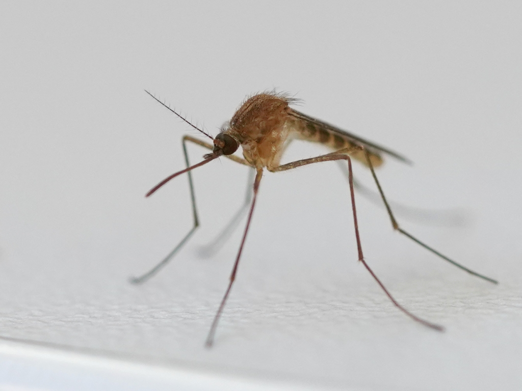
Boston's dense urban drainage network — catch basins, storm drain outfalls, and the slow-moving ditches throughout the metro — functions as a Culex pipiens nursery through July and August. The species drives WNV transmission in eastern Massachusetts, with Boston, Worcester, and Middlesex County surveillance zones recording the most positive mosquito pools annually. A strictly nocturnal biter that doesn't range far from its breeding water, high concentrations cluster in neighborhoods with older drainage infrastructure.
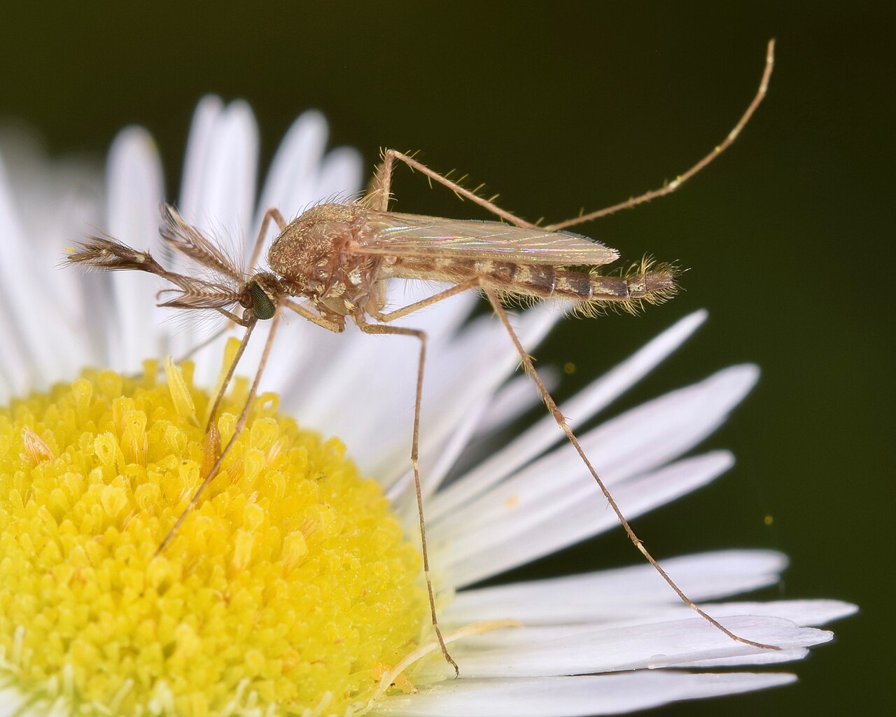
The Japanese rock pool mosquito is Massachusetts' most important EEE bridge vector — the species that carries the virus from its bird reservoir into human territory. It breeds in rock pools, tree holes, and shaded woodland containers throughout the southeastern high-risk corridor and bites during the day. Its presence in the Plymouth County swamp complex and adjacent suburbs is why MDPH issues the earliest EEE risk advisories in the country.
Spring snowmelt and the heavy June rains that saturate the Connecticut River and Merrimack valleys produce mass emergence events that Ae. vexans is built to exploit — larvae hatch within days of a flood pulse and adults disperse 10+ miles from breeding sites on favorable winds. The flood mosquito accounts for the sudden, statewide biting waves that materialize after wet periods in June, often before WNV season has properly begun. No meaningful disease vector role, but responsible for the most intense nuisance biting of the Massachusetts season.
| City | Peak Season | Off-Season | Notes | |
|---|---|---|---|---|
| Boston | May – Oct | Off Nov–Apr | Urban WNV corridor; Charles River; Suffolk County WNV active most years | Check live |
| Worcester | May – Sep | Off Oct–Apr | Central MA; Blackstone River watershed; above-average EEE risk vs. Boston | Check live |
| Springfield | May – Sep | Off Oct–Apr | Connecticut River valley; agricultural floodwater pressure; lower EEE risk than SE | Check live |
| Cambridge | May – Oct | Off Nov–Apr | Part of Boston metro; Charles River; dense Culex pipiens urban population | Check live |
| Lowell | May – Sep | Off Oct–Apr | Merrimack River; floodwater surges; Middlesex County WNV pressure | Check live |