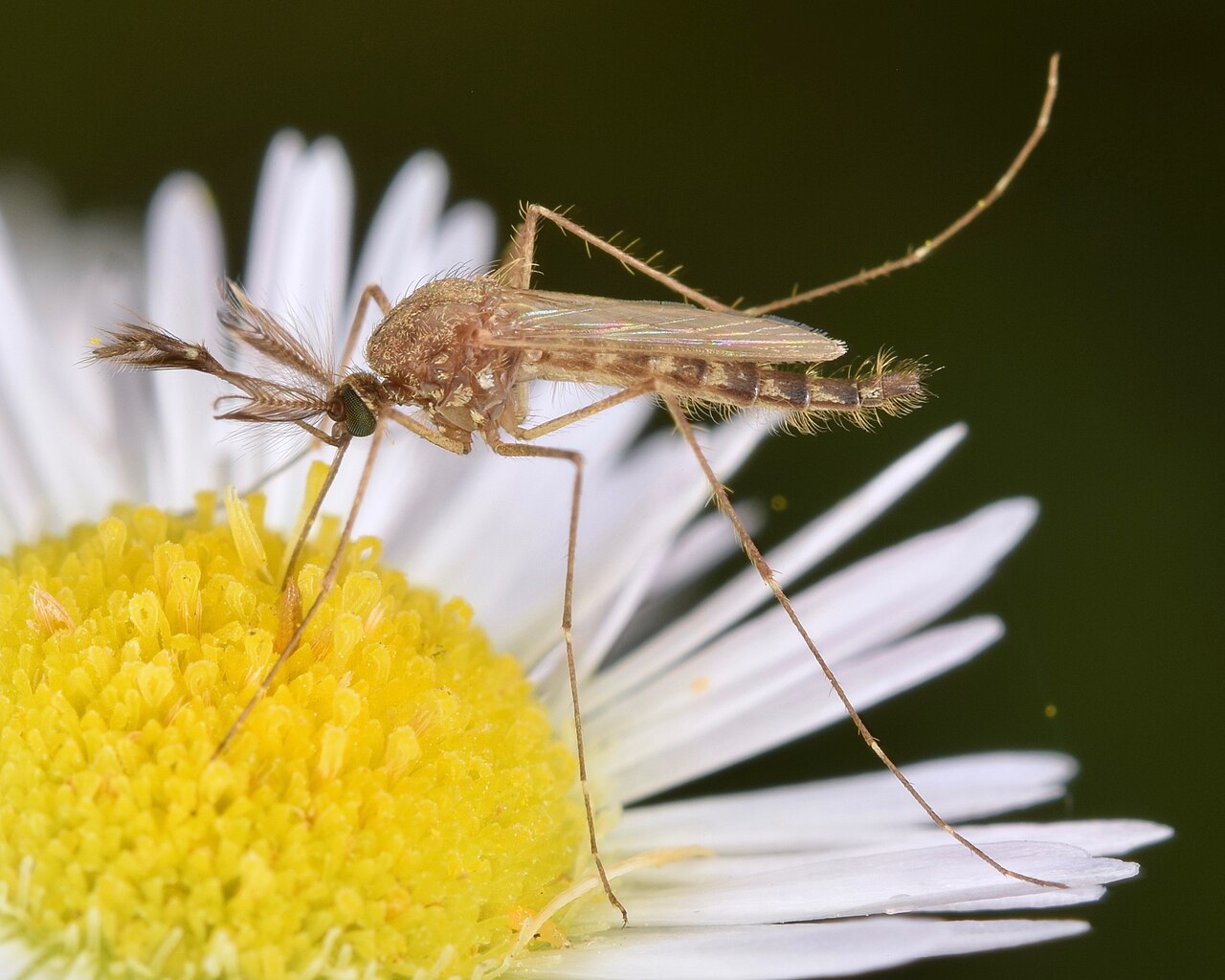
Is it mosquito season in Minnesota?
Minnesota's reputation as the "land of 10,000 lakes" is also a description of 10,000 mosquito breeding sites. Snowmelt floods floodplains in April and May, loading the landscape with standing water just as temperatures warm. The resulting June–August peak is among the most intense in North America — a short window with very high density.
The Twin Cities metro: urban intensity
Minneapolis–Saint Paul experiences intense mosquito pressure despite its urban character, driven by the Mississippi and Minnesota River floodplains, Chain of Lakes, and extensive park systems with standing water. The metro runs the state's highest West Nile Virus case counts most years, with Hennepin and Ramsey counties consistently active June through September.
Northern Minnesota and the Boundary Waters
The Lake Superior north shore and Boundary Waters region are legendary for mosquito intensity — a combination of boreal wetlands, beaver ponds, and cool moist air that sustains populations through most of June and July. Hikers and paddlers in the BWCA should treat mosquito protection as essential gear, not optional.
Southern Minnesota: the agricultural corridor
The southern tier, including Rochester and the agricultural counties, follows a similar June–August peak but with somewhat less intensity than the north. The Minnesota and Des Moines River corridors drive floodwater surges after heavy rains, and West Nile Virus is detected annually across the region.
The dominant nuisance species in Minnesota. Eggs overwinter in floodplain soil and hatch explosively after spring snowmelt — populations can increase by orders of magnitude within days. Responsible for the intense early-season surges that define the Minnesota experience.
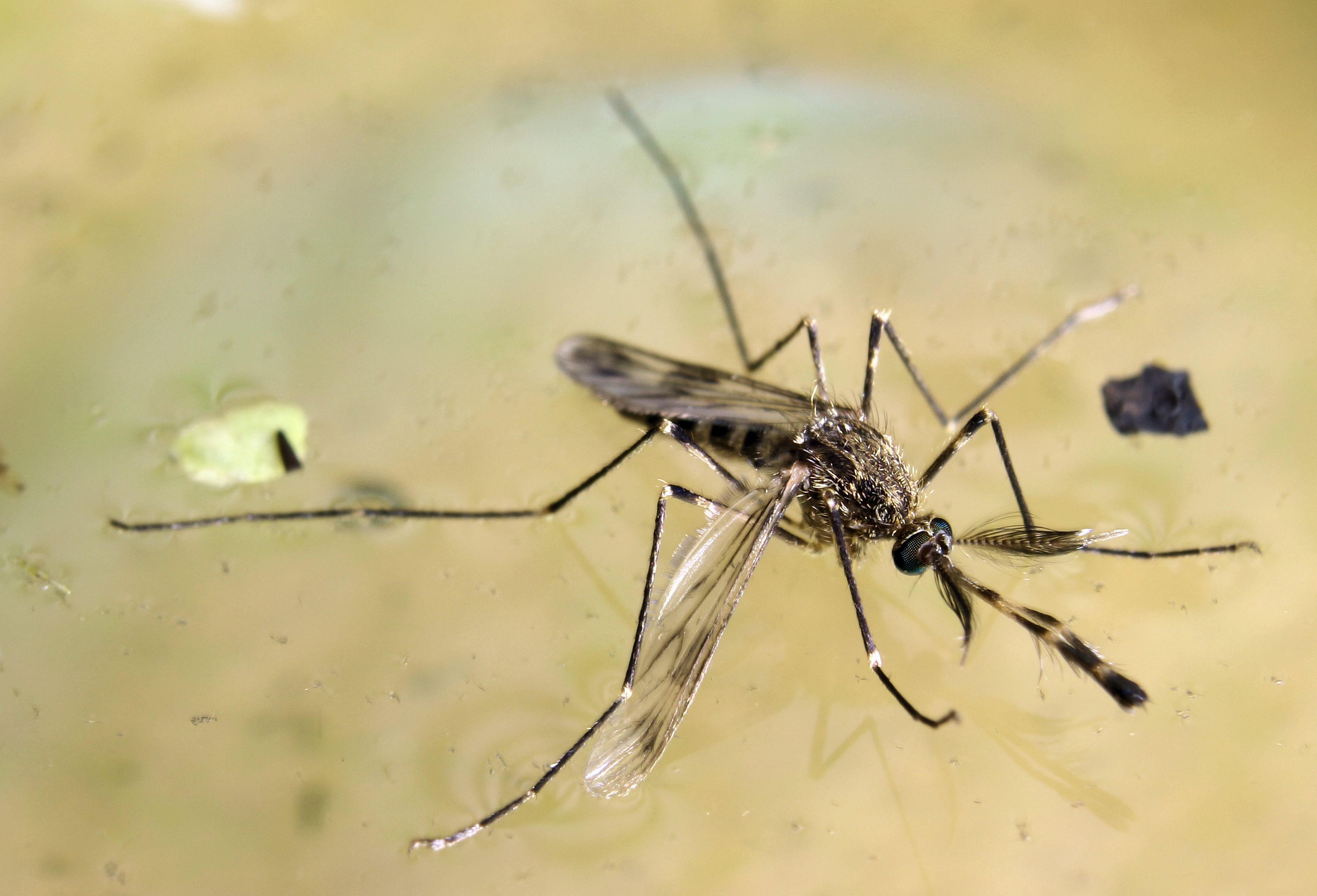
The primary West Nile Virus vector in western and central Minnesota. Breeds in warm, nutrient-rich standing water — irrigation pooling, roadside ditches, farm ponds. Peaks in July–August, and its WNV transmission rate increases during hot, dry conditions that concentrate bird hosts near water.
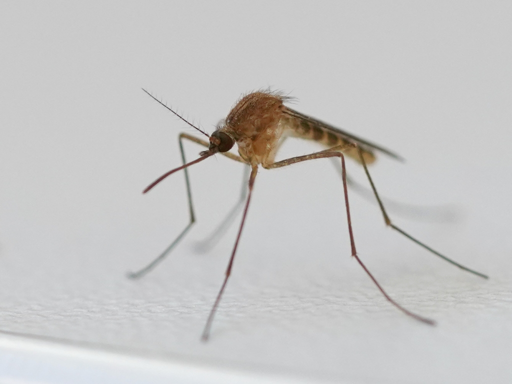
The dominant urban mosquito in the Twin Cities metro. Breeds in stagnant water in gutters, storm drains, and urban catch basins. The main WNV vector in the Minneapolis–Saint Paul area, with activity concentrated July through September in residential neighborhoods.
| City | Peak Season | Off-Season | Notes | |
|---|---|---|---|---|
| Minneapolis | Jun – Sep | Off Oct–May | Mississippi River floodplain; Chain of Lakes; highest WNV case counts in state most years | Check live |
| Saint Paul | Jun – Sep | Off Oct–May | Battle Creek, Phalen, and Como wetlands; floodplain corridors near downtown sustain populations | Check live |
| Duluth | Jun – Aug | Off Sep–May | Shorter Lake Superior north shore season; intense during peak weeks in boreal wetland areas | Check live |
| Rochester | Jun – Sep | Off Oct–May | Zumbro River corridor; agricultural floodwater species prominent after spring rains | Check live |
| St. Cloud | Jun – Sep | Off Oct–May | Mississippi River and Sauk River junction; one of the earliest metro-area locations to see surges | Check live |