Is it mosquito season in Missouri?
Missouri straddles the ecological boundary between the Midwest and the South, and its mosquito season reflects both. The Mississippi and Missouri Rivers — two of the largest in North America — carve massive floodplains across the state that flood seasonally and produce enormous floodwater mosquito populations. Combined with warm humid summers, Missouri delivers one of the mid-continent's most significant seasons.
St. Louis and the Mississippi corridor
St. Louis and the eastern counties sit at the confluence of the Missouri and Mississippi Rivers — the two largest floodplain systems in the state. After spring floods or heavy summer rains, the river bottoms from Hannibal to Cape Girardeau produce floodwater mosquito surges that affect the entire metro. West Nile Virus is detected annually in St. Louis City and County.
Kansas City and the Missouri River Valley
Kansas City and the western counties follow the Missouri River corridor, which floods regularly and creates extensive floodplain breeding habitat. The metro experiences intense July–August peak pressure, with the river bottoms and urban stormwater system sustaining populations through September.
The Ozarks and southern Missouri
The Ozark Plateau and the southern counties run a somewhat lower-density season than the river corridors, but the region is not mosquito-free. The Current, Gasconade, and Black River systems create significant habitat, and the Table Rock and Lake of the Ozarks areas see elevated activity around shoreline development.
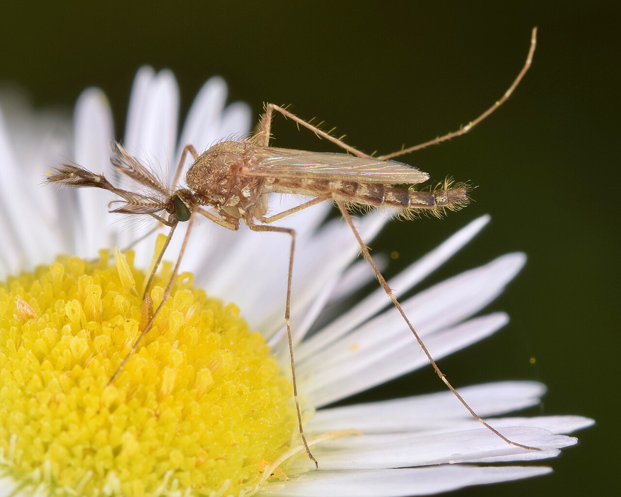
The dominant nuisance species in Missouri, particularly along the Mississippi and Missouri River floodplains. Hatches explosively after flooding and can disperse many miles from breeding sites. Responsible for the intense post-flood surges that follow major river events.
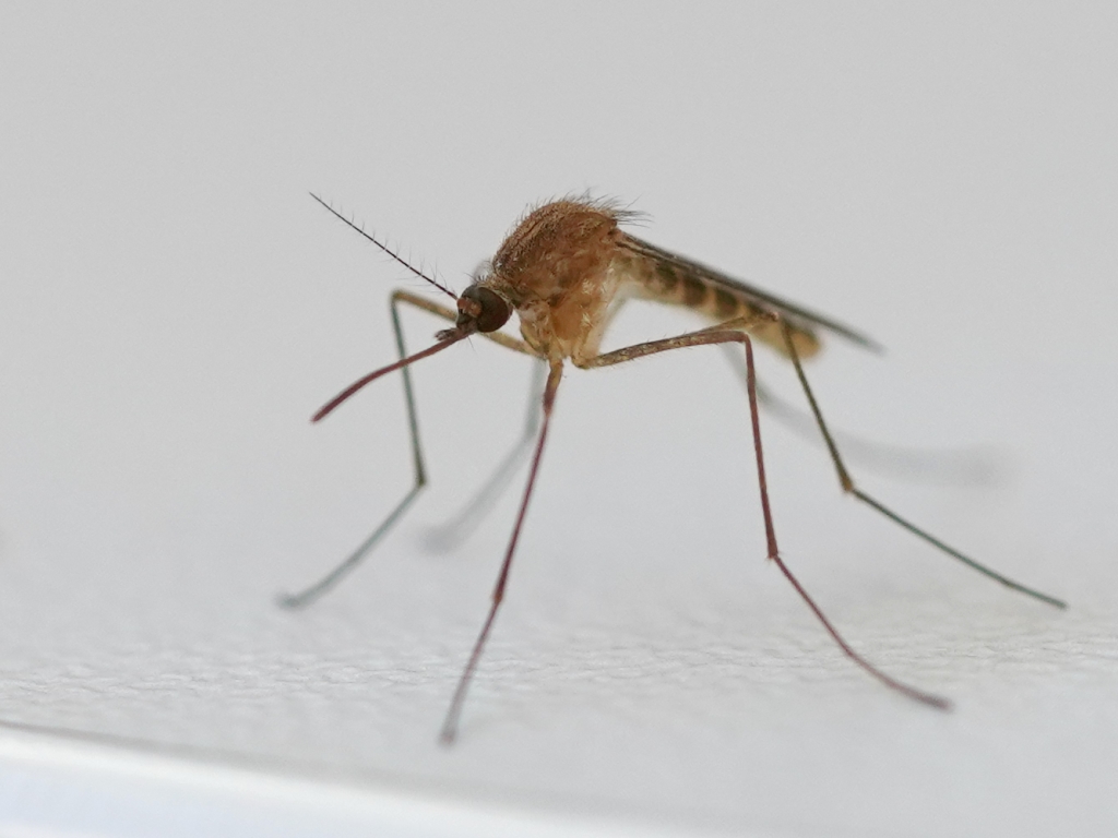
The primary West Nile Virus vector in Missouri's urban centers. Breeds in stagnant water in gutters, catch basins, and storm drains. WNV is detected in humans and birds annually — St. Louis and Jackson counties log the highest case counts.
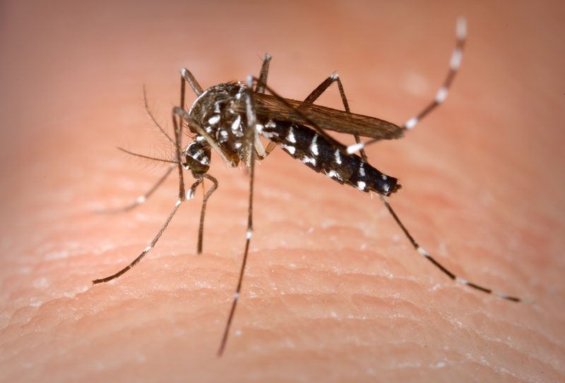
Established statewide and expanding northward. An aggressive daytime biter that has colonized Missouri's urban and suburban areas. Particularly prevalent in Kansas City, St. Louis, and Springfield neighborhoods with mature tree canopy and small container water sources.
| City | Peak Season | Off-Season | Notes | |
|---|---|---|---|---|
| St. Louis | Apr – Oct | Off Nov–Mar | Mississippi/Missouri confluence; highest WNV case counts in state; river bottoms drive intense surges | Check live |
| Kansas City | Apr – Oct | Off Nov–Mar | Missouri River floodplain; Blue River corridor; dense summer populations in urban neighborhoods | Check live |
| Springfield | Apr – Oct | Off Nov–Mar | Ozark Plateau; James River corridor; lower density than river metros but tiger mosquito established | Check live |
| Columbia | Apr – Oct | Off Nov–Mar | University area; Hinkson Creek corridor; active June–August with Culex urban populations | Check live |
| Jefferson City | Apr – Oct | Off Nov–Mar | Missouri River banks; state capital area; river floodplain drives seasonal surges | Check live |