Is it mosquito season in Vermont?
Vermont's mosquito geography is defined by its western edge. The Lake Champlain basin — a broad, flat agricultural lowland between the Green Mountains and the Adirondacks — runs one of the Northeast's more persistent floodwater seasons, with the Champlain marshes, Winooski River floodplains, and Addison County dairy farmland sustaining real pressure from late May through August. Twenty miles east, Green Mountain ridgelines above 2,500 feet see almost none of it. The state also sits within the active Northeast EEE corridor — the virus has been detected in Vermont mosquito pools — a risk that gets underplayed given Vermont's outdoorsy identity.
The Champlain Valley: Vermont's long end
Chittenden County (Burlington) and the Champlain Valley communities from St. Albans south to Middlebury experience Vermont's most consistent and prolonged pressure. Lake Champlain's extensive marsh systems — Missisquoi Bay, Dead Creek Wildlife Management Area, and the South Slang — sustain Aedes vexans and Culex pipiens populations through the summer. The agricultural flatlands of Addison County, with their dairy infrastructure and irrigation pooling, add breeding habitat that extends the effective season well into September in warm years. West Nile Virus is detected most years in Chittenden and Franklin counties.
EEE: the underappreciated risk
Vermont health officials maintain active EEE surveillance, and the virus has been confirmed in mosquito pools from Addison, Rutland, and Windsor counties. The cedar swamps and freshwater bog complexes along the Connecticut River's Vermont tributaries share characteristics with the active EEE habitat in New Hampshire and Massachusetts directly to the south. While human EEE cases in Vermont are rare, the case fatality rate exceeds 30% — and Vermont's culture of outdoor work and recreation (hiking, trail running, mountain biking at dusk) puts people in exactly the woodland-edge habitat where EEE bridge vectors are most active.
The Green Mountains: altitude as the great equalizer
Vermont's most effective mosquito control isn't spray trucks — it's terrain. Communities above 1,500–2,000 feet experience dramatically shorter seasons, with meaningful activity typically compressed to four to six weeks in late June and July. Stowe, Warren, and Woodstock see a fraction of the pressure that Burlington does despite being only an hour away. Above 3,000 feet on the Long Trail, mosquitoes are a brief June phenomenon. The state's ski towns double as its lowest-mosquito communities — an unusual coincidence of industry and entomology.
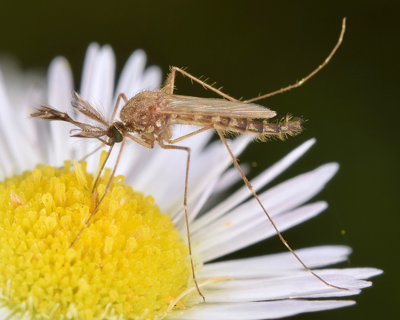
Vermont's dominant nuisance mosquito and the reason the Champlain Valley can feel relentless in June. Eggs overwinter in the floodplain soils of every major river drainage — Winooski, Lamoille, Missisquoi, Otter Creek — and hatch in a synchronized surge when spring flooding recedes. The window is short but intense: populations can be extraordinary for two to three weeks before natural mortality catches up. Not a significant disease vector, but responsible for most of the biting pressure Vermonters actually experience.
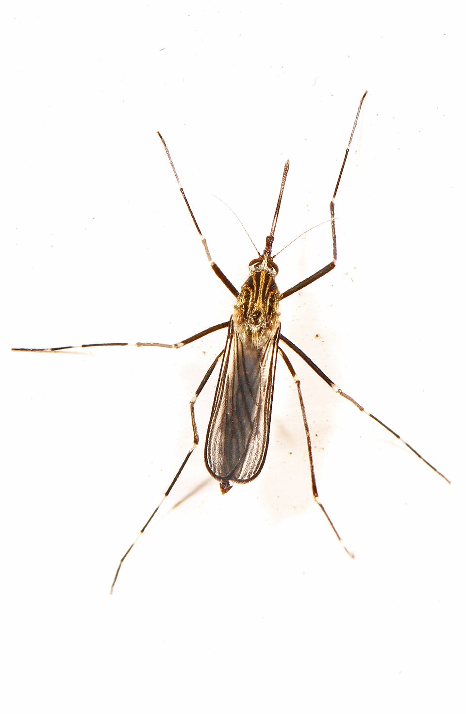
Established throughout Vermont's wooded suburban and rural landscape, Ae. japonicus breeds in natural tree holes, rock pools, and artificial containers in forested settings — habitats where Culex species are rare. Its importance is epidemiological: it is a documented bridge vector for both EEE and West Nile, connecting those viruses from bird hosts to humans in the woodland-edge environments that define Vermont's trails, camps, and working farms. It bites throughout the day, extending exposure beyond the typical dusk-dawn window.
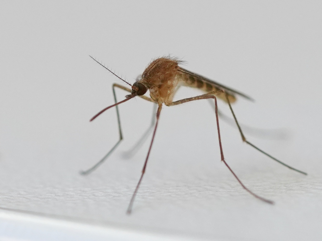
The primary WNV vector in Burlington, Barre, Montpelier, and the Champlain Valley communities. Breeds in storm drain catch basins, clogged gutters, and urban standing water — the inevitable byproduct of older Vermont infrastructure. Most active dusk to dawn from July through September. Vermont's human WNV case totals are modest in absolute terms, but the virus circulates in the Culex pipiens population consistently — detections in surveillance traps are annual.
| City | Peak Season | Off-Season | Notes | |
|---|---|---|---|---|
| Burlington | May – Sep | Off Oct–Apr | Champlain Valley; longest season in state; Winooski River; Culex pipiens active | Check live |
| South Burlington | May – Sep | Off Oct–Apr | Part of Burlington metro; Lake Champlain shoreline wetlands; similar pressure | Check live |
| Rutland | Jun – Aug | Off Sep–May | Otter Creek corridor; Rutland County EEE wetland area; shorter season than Champlain | Check live |
| Barre | Jun – Aug | Off Sep–May | Winooski River tributary; granite quarry district; shorter season at higher elevation | Check live |
| Montpelier | Jun – Aug | Off Sep–May | State capital; Winooski River; brief but real July peak; modest urban pressure | Check live |